
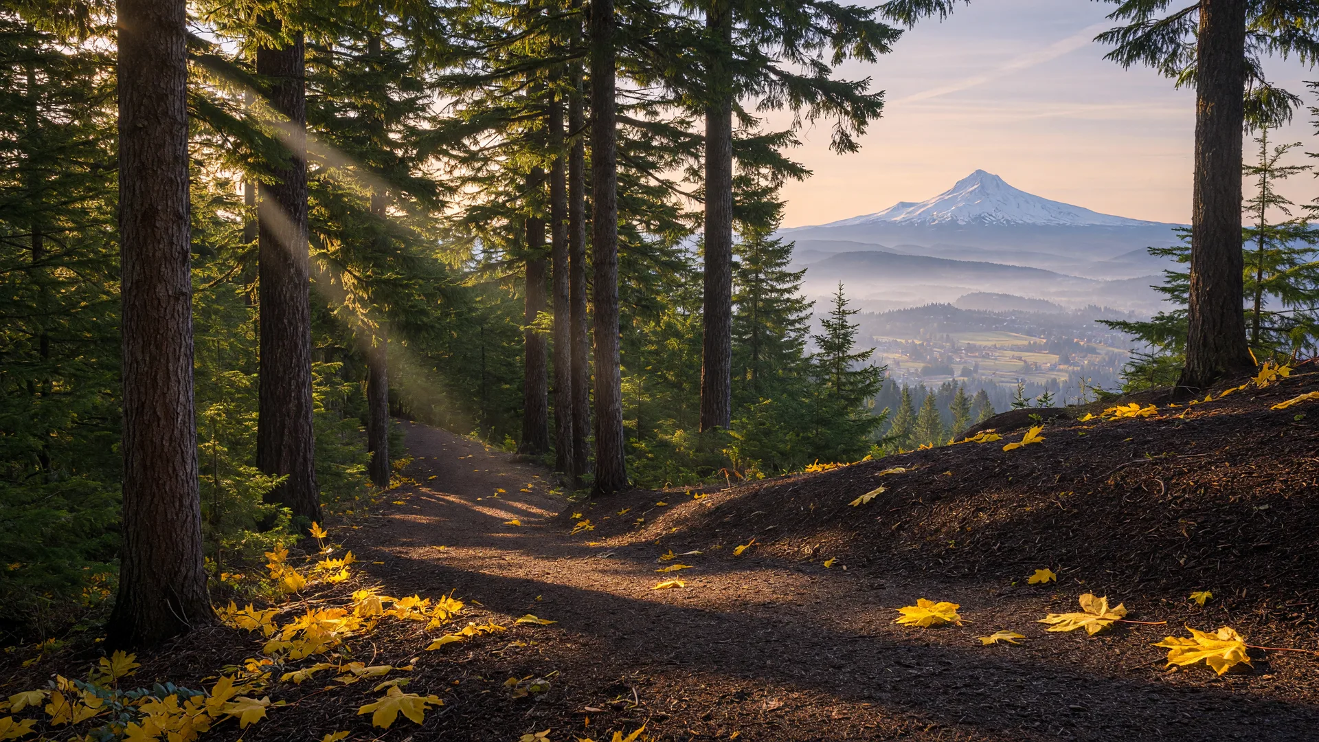
Happy Valley is a city built on hills, and most of its outdoor life happens within ten minutes of any front door: a 24-acre flagship community park, two Metro-managed nature parks on ancient volcanic buttes, a hidden waterfall, and a web of neighborhood green spaces. Here is where residents actually go, what each place is like, and how it shows up in the housing market.
Happy Valley Park: the backyard of the city
Happy Valley Park, at 13770 SE Ridgecrest Road, is the city's 24-acre flagship and the closest thing the valley has to a town common. It packs a lot into its acreage: wetlands with a boardwalk, a summer spray ground for kids, a dog park, an all-abilities playground, sports fields and courts, and a skate park. The roughly three-quarter-mile paved walking loop doubles as a TRACK Trail, which makes it the default loop for daily walkers, stroller laps, and anyone training for something. Most city events, from Concerts in the Valley to Oktoberfest, happen in this park, so it anchors the social calendar as much as the trail map.
Mount Talbert Nature Park: the forest at the city's edge
Mount Talbert Nature Park sits on the boundary between I-205 and Happy Valley, a Metro-managed butte that is the largest nearly fully wooded Boring volcano in the Portland area. It offers four or more miles of trails across five trailheads, a mix that includes paved, accessible routes and steeper footpaths, with a summit loop and interpretive signs along the way. Its position means you can be on a forested ridgeline minutes after leaving a Happy Valley driveway, which is the quality-of-life argument that most surprises relocating buyers.
Hidden Falls Nature Park: a waterfall minutes from home
Tucked off Pioneer Street and 152nd Avenue, Hidden Falls Nature Park is 21.3 acres of wooded natural area hiding a roughly 15-foot tiered waterfall on Rock Creek. A paved, multi-use trail of about 0.84 miles leads to a wooden footbridge with the best view of the falls, and shaded picnic areas make it a favorite short outing. It is also a key link in the loop that ties Mount Scott and Scouters Mountain together, so hikers can string together a proper morning without leaving the neighborhood.
Scouters Mountain: the volcano in the backyard
Scouters Mountain Nature Park preserves about 190 acres of forest on an extinct lava dome that rises roughly 932 feet above the valley, with Mount Hood on the eastern horizon, free and open sunrise to sunset. Its easy loops and summit views make it the valley's signature hike, and its name shows up in new construction too. We wrote a full field guide to the park, so rather than repeat it here, take the deep dive in that post.
The neighborhood parks that sell homes
Beyond the headline destinations, a string of neighborhood parks does quiet work for the market. Ella V. Osterman Park is the biggest of them at 31 acres, with fields, a playground, a picnic shelter, and room to spread out. Ashley Meadows Park pairs an all-abilities playground with basketball and picnic space in the east part of the city, Altamont Park offers a playground and walking path on the west side, and Hood View Park wraps a pond that draws families and ducks in equal numbers. Two popular walking routes connect the dots: the neighborhood stroll from Southern Lites Park to Happy Valley Park, and the Mount Scott/Scouters Mountain loop on the city's eastern flank.
Why green space shows up in the market
When buyers ask what a Happy Valley address gets them, the answer is usually a walkable park, a forested butte, or a waterfall that most other suburbs would call a destination. That stack of green space within minutes is part of why the valley holds its value against cheaper neighbors, and it is one of the first things we map for relocating clients: schools on one sheet, parks and trails on the other. Tour with us on a Saturday and we will show you the loop from showing to scout trail in one afternoon.